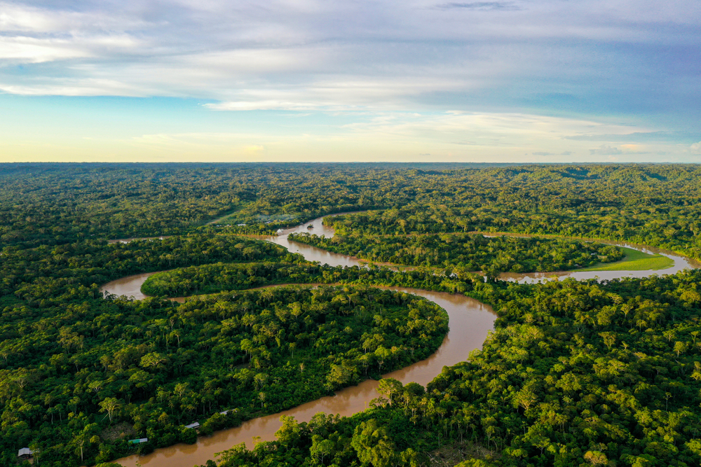
A swathe of new information about a lost Ecuadorian city has been uncovered with laser 3D scanning, according to a BBC report. Found using a LiDAR-equipped plane, the 2,500-year-old ruins are already changing the way academics view Amazonian tribes.
Though traditionally thought to have lived a fairly basic existence in small groups, findings now suggest they may have built larger cities, up to hundreds of thousands strong.
Despite being overgrown with plants and trees, LiDAR managed to identify 6,000 rectangular platforms from a 300 square kilometer aerial sweep. Each measuring 20 x 10 meters, and arranged in groups of three to six, these are believed to have either supported homes or been used to host ceremonies associated with religion or other powerful beliefs.
Thanks to LiDAR, ancient waterways have also been uncovered, as have blockages between certain platforms, which are being seen as deliberate obstructions to prevent intruders. Evidence was first found in the 1970s, but 3D scanning has taken site surveying to a whole new level. Who knows what hidden treasures LiDAR will uncover next?!


